
Python: Generate WKT from Lat Long Coordinates
Recently I’ve been playing around with geometry objects in WKT format while documenting Apache Pinot’s Geospatial functions. I then wanted to figure out how to generate a WKT string from a list of lat long coordinates, which we’ll learn how to do in this blog post.

We’re going to do all this using Python’s Shapely library, so let’s first install that library:
pip install shapely|
Note
|
I learnt about the Shapely library from Davma’s StackOverflow question. |
Let’s say we have a bunch of lat/long coordinates defined like this:
lat_longs = [
    (50.854457, 4.377184),
    (52.518172, 13.407759),
    (50.072651, 14.435935),
    (48.853033, 2.349553),
    (50.854457, 4.377184)
]
We’re going to create a polygon based on these coordinates using the following code:
from shapely.geometry import Polygon
polygon = Polygon(lat_longs)
And getting a WKT string is as easy as calling the wkt property:
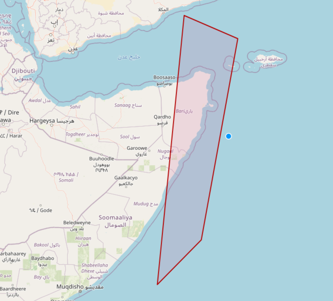
print(polygon.wkt)POLYGON ((50.854457 4.377184, 52.518172 13.407759, 50.072651 14.435935, 48.853033 2.349553, 50.854457 4.377184))And finally, we can plot that polygon on a map using the OpenStreetMap WKT Playground.
About the author
I'm currently working on short form content at ClickHouse. I publish short 5 minute videos showing how to solve data problems on YouTube @LearnDataWithMark. I previously worked on graph analytics at Neo4j, where I also co-authored the O'Reilly Graph Algorithms Book with Amy Hodler.